Creating Maps
The Digital Learning & Scholarship team can help students and faculty explore a variety of mapping tools to spatially represent your ideas, including:
- StoryMap JS: Present geographic information as a set of slides
- ArcGIS StoryMaps: Create a streamlined webpage with a flexible variety of maps, images, and text
- Historypin: Collaboratively pin collections of media and text to a shared public map
Mapping Projects Created at Davidson:
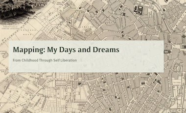
Charting Edward Carpenter
ArcGIS StoryMap by students in ENG 406: Digital Design & Storytelling
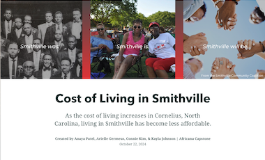
Cost of Living in Smithville
ArcGIS StoryMap by students in AFR 495: Africana Capstone
Charting Edward Carpenter
ArcGIS StoryMap by students in ENG 406: Digital Design & Storytelling
Cost of Living in Smithville
ArcGIS StoryMap by students in AFR 495: Africana Capstone